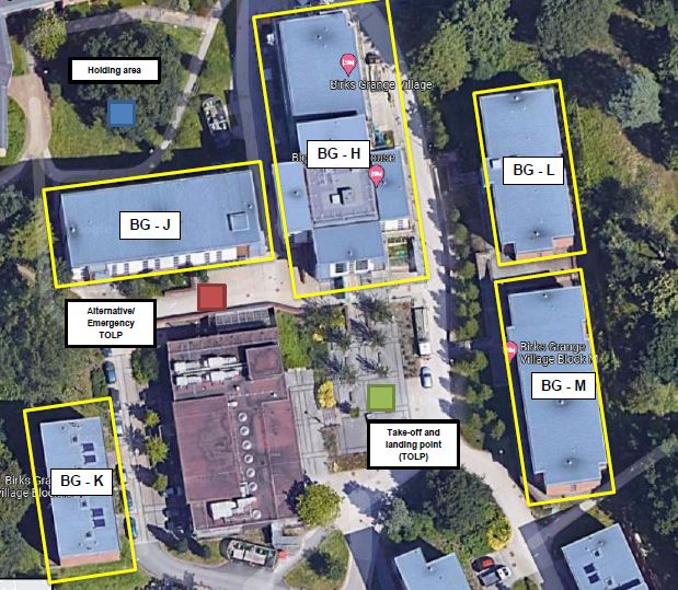
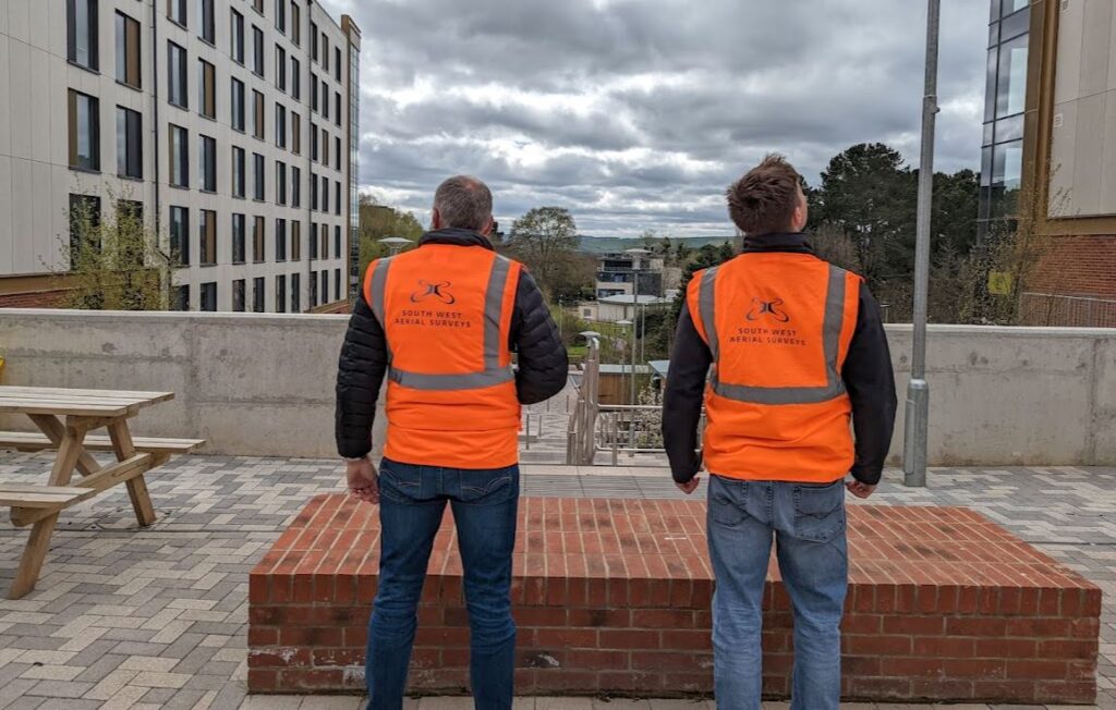
UPP wanted to improve the understanding of roof maintenance and understand the frequency of gutter clearing. Traditionally cherry pickers and external roof access were used but these were less cost-effective and not always risk-free. Drones allowed a quick, safe solution to document and record all aspects of roof condition. Flights were undertaken at mulitple points across different campuses which helped to reduce the carbon footprint of the entire piece of work.
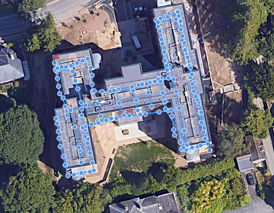
We provided a unique solution where, for complex and large inspections, images were displayed by contextually using their geo-spatial information. The easy-to-use online and desktop platform (DroneDB) provides a convenient location to store images which are related to their position on a particular roof. This is key for data management in a large site where there are 10's of GB of images and data.
UPP (University Partnerships Programme) have over 36,000 rooms in operation or under construction through long-term, bespoke partnerships with 15 world-leading universities. With approximately 1,000 employees, since 1998 UPP have invested over £3bn in the UK higher education sector and provided homes to over 400,000 students.