Immersive Digital Models and photorealistic scans

What’s  Built

Simple. Visual. Accurate.

What's Built turns buildings into dimensionally accurate visual models, both inside and out.
We take complex spatial and dimensional data and deliver it through a simple, measurable and photorealistic platform.

"What'sBuilt" turns inside and outside spaces into immersive 3D visual models, that everyone can understand and use. Clients can explore and interact, allowing you to showcase your facilities to potential users. Cut both costs and your organisation carbon footprint.

If you're looking to start making smarter decisions based on REAL data, then it's time to start utilising our 3D digital software.

Our visual  models enable virtual tours, remote property inspection  and online facilities management for clients, colleagues and contractors.
 
We bring together data for better actionable understanding. We use ground-based 360 imagery together with existing asset information to visualise, measure, annotate and inspect.
 
Share the secure and immersive cloud-based “always-on” service on any device and at any time.  The reality capture platform supports collaboration across teams and provides a wide range of tools to measure, inspect and mark-up.

Immersive digital twins

Relational "Doll-house" view - like nothing you have seen before

Our dolls-house view allows you to visualise your built asset in 3D, seeing the relationship aspects between rooms. Remote inspection saves time and costs, supporting the daily and annual planning and risk-management of your property. Staff are able to manage facilities more easily and non-staff professionals and contractors can explore challenges with you remotely.

Precise, detailed and accurate

Visual information is clear, accurate and high quality

Users can navigate the spaces to zoom in on particular elements in amazing quality. High resolution images are embedded in the model which can be viewed up and down as well as from side to side. This imagery provides a fully immersive and photorealistic user experience.

Customise and label

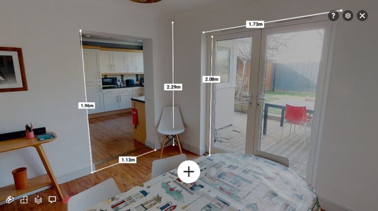
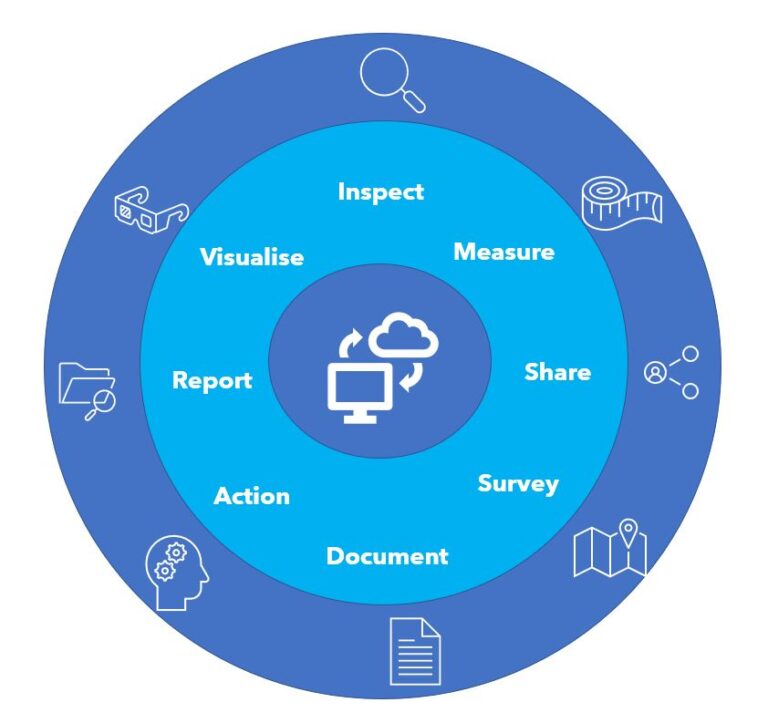
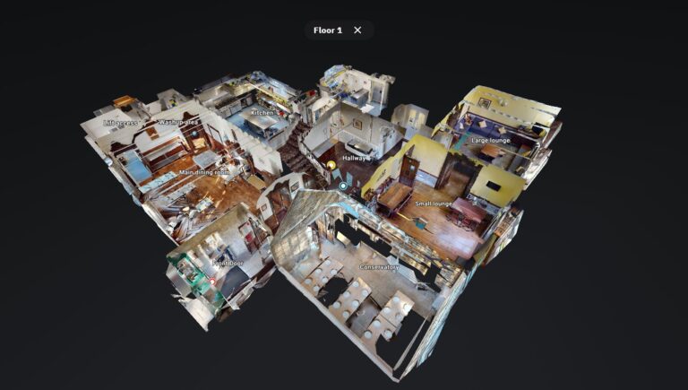
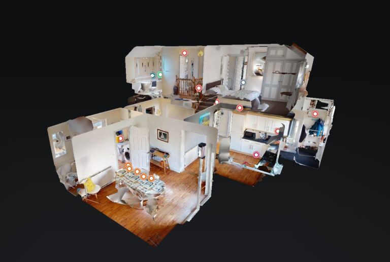
All models can be managed, edited and fully customised

Models can be customised to suit your needs. Fire escapes, rooms and routes can all be labled. Instruction manuals, control information and maintenance can all be listed, as well as creating repositories for different elements of property documentation.

Always-on and easy to use

Quickly share and interact across different platforms - actionable intellegence

Share the secure and immersive cloud-based "always-on" service on any device and at any time. The reality capture platform supports collaboration across teams and provides a wide range of tools to measure, inspect and mark-up.

Explore one of our projects where we captured the delightful boutique hotel, Locanda on the Weir, in Porlock, Somerset.  

Why South West Aerial Surveys?

Scroll to Top