
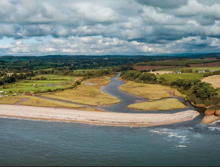
Ground-based and lidar-flown GNSS GPS survey data has always been held up as the "gold standard" - yet it is costly and can quickly become out of date. Drone data, with its low-cost and quick turnaround times needed to show quality comparability when used in critical applications such as coastal flood-risk management. In this project, we needed to show sub 20mm accuracy in our level of output precision.

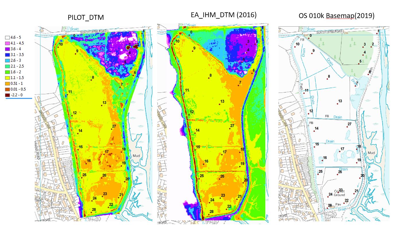
High-quality mapping takes careful planning, experience and the correct enterprise-level technology. For this our team used a Phantom 4 pro with a very accurate GPS sensor. We combined this with ground control points using the Emlid RS2 GNSS GPS. We worked with the EA to abstract our drone data to compare with established data. Results showed variations between 45mm to <10mm which was consistent with expectations given the flight altitude. Overall, this pilot project demonstrated comparability was possible - quicker, cheaper and safer.
The Environment Agency is a government body (part of DEFRA) that helps people and wildlife adapt to climate change and reduce its impacts, including flooding, drought, sea level rise and coastal erosion. The EA has around 10,600 employees and is based in Bristol, but organised on a regional basis.
