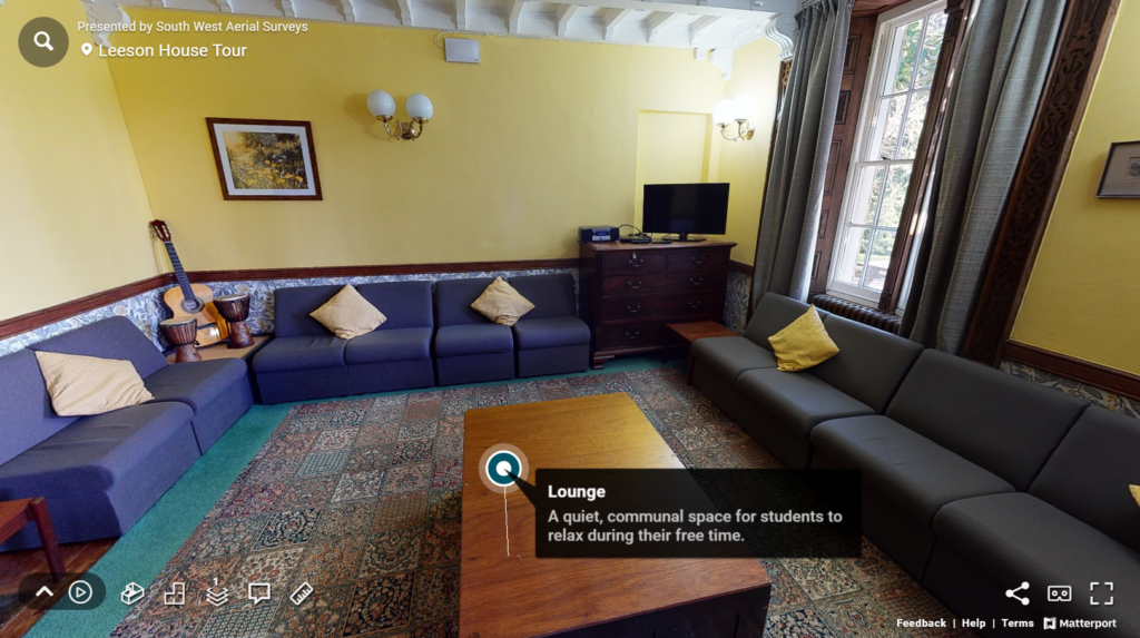
Dorset County Council worked with South West Aerial Surveys to internally scan and map their successful field centre Lesson, House near Swanage. Find out how it helped the centre work smarter with its customers.
OUTCOMES
- Allowed immersive and interactive remote visits by staff and students
- Fixed the communication and information gaps for facilities management
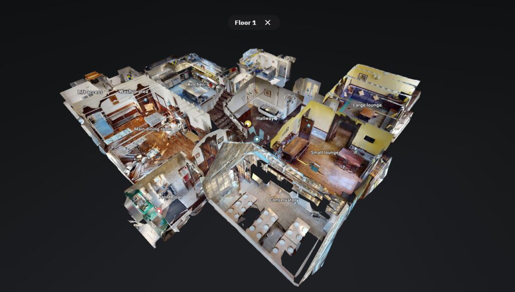
- Internal model helped visitors understand more about fire safety exits
- Enabled the creation of a curated promotional tour showcasing spaces
THEIR CHALLENGE
Communicating a complex residential space
Leeson house hosts visitors from all ages and from across the country. What should they expect? Where are the bedrooms? What faclilites do they offer? Where are the fire exists? Can we fit a wheelchair through a doorway? Our immesrive and interactive model allowed visitors to contextualise the space and see exactly what is on offer remotely, and prior to any vists.
The relational "dolls house" view
Being able to contextualise a space in terms of its relational attributes - rather than just having images is very important for some businesses. In the case of Leeson house they wanted visitors to be able to easily see fire exits as well as the position of bedrooms and facilities so that they could show this to the parents of young people who would be visiting. Reassuring them about what to expect and how the layout would be appropriate to the needs of their guests .
ABOUT DORSET CC and LEESON HOUSE
Leeson House is a field centre near Swanage, owned by Dorset Council
Leeson House is a destination venue for Primary through to A Level fieldtrips. The house is a secluded Grade Two mansion situated near Swanage, Dorset on the Jurassic Coast World Heritage Site. Leeson House owned by Dorset Council can accommodate up to 80 students and 12 accompanying staff and residential bookings are taken 7 days a week throughout the whole year. The Centre also offer a wide range of day visits and outreach activities.
Why South West Aerial Surveys?
- Licenced and audited by the CAA with £5million public liability insurance
- The latest enterprise-level technology using a range of sensor technologies: visual, thermal and mapping as well as ground-based 3D scanning and digitisation
- Staff and equipment resource capability to deliver large and small projects, both in the SW and further afield
- Problem-solving attitude with a track record of safe and efficient delivery in a range of sectors for different clients


