UPP (University Partnerships Programme) used high-resolution aerial images combined with DroneDB to gain efficiencies for roof condition inspections and planned maintenance works on campus
OUTCOMES
- Cost-effective, quicker and safer way of performing visual roof inspections
- Fixed the communication and information gaps in asset management
- Cloud-based outputs were easily shared with different stakeholders
- Enabled planning for future spending using an evidence-based approach
THEIR CHALLENGE
Lowering costs and improving efficiencies
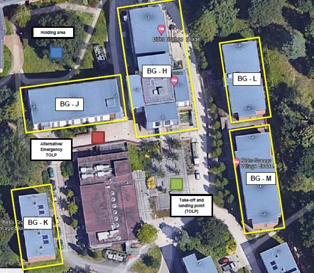
UPP wanted to improve the understanding of roof maintenance and understand the frequency of gutter clearing. Traditionally cherry pickers and external roof access were used but these were less cost-effective and not always risk-free. Drones allowed a quick, safe solution to document and record all aspects of roof condition. Flights were undertaken at mulitple points across different campuses which helped to reduce the carbon footprint of the entire piece of work.


Effortless aerial data management and sharing
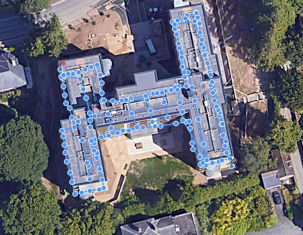
We provided a unique solution where, for complex and large inspections, images were displayed by contextually using their geo-spatial information. The easy-to-use online and desktop platform (DroneDB) provides a convenient location to store images which are related to their position on a particular roof. This is key for data management in a large site where there are 10's of GB of images and data.
ABOUT UPP
The UK’s leading provider of on-campus residential and academic accommodation
UPP (University Partnerships Programme) have over 36,000 rooms in operation or under construction through long-term, bespoke partnerships with 15 world-leading universities. With approximately 1,000 employees, since 1998 UPP have invested over £3bn in the UK higher education sector and provided homes to over 400,000 students.
Why South West Aerial Surveys?
- Licenced and audited by the CAA with £5million public liability insurance
- The latest enterprise-level technology using a range of sensor technologies: visual, thermal and mapping as well as ground-based 3D scanning and digitisation
- Staff and equipment resource capability to deliver large and small projects, both in the SW and further afield
- Problem-solving attitude with a track record of safe and efficient delivery in a range of sectors for different clients

